Community Map
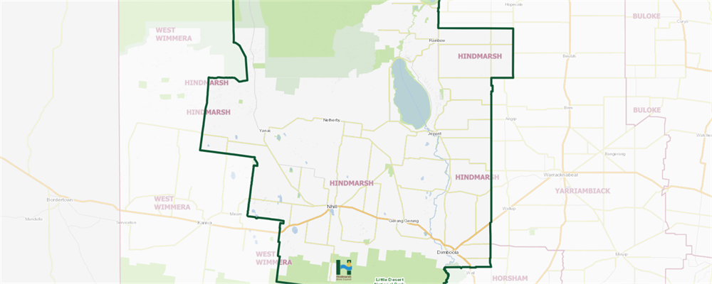
Council's community map (powered by Pozi) is an interactive map on Hindmarsh Shire. It will provide you with information on:
- Rubbish and Recycling Collection Days
- Planning Overlays
- Planning Zones
- Environmental Significance Overlays
- Your local Councillors and their Wards
- Property Assessment Numbers
- Bus Stops and VLine bus routes
- Emergency Service Locations (e.g. Hospitals and Fire Stations)
You can also use it for measuring distance and areas by selecting the Tools icon > Measure.
CLICK HERE TO VIEW OUR COMMUNITY MAP